
Zhanlang · Video and Image Big Data Solution
For public safety operations and urban governance, structure people, faces, vehicles, and non-motor vehicles as full targets; store, query across levels, and watchlist through the visual library. On the Zhanlang platform, a unified map, intelligent retrieval, spatiotemporal analysis, and holographic profiles support a frontline loop of watch, search, analyze, and track.
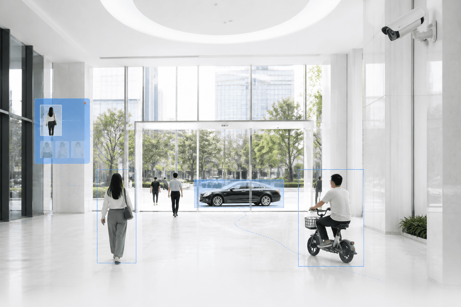
Operational analysis and proactive prevention
Full-target structuring, tactic matrix, and one-map closed loop
Person and vehicle watchlist alerts
Real-time blacklist and whitelist matching, with second-level alerts when thresholds are exceeded. Face and vehicle CV algorithms support round-the-clock risk warning.
Intelligent retrieval
Search by image, plus spatiotemporal and attribute retrieval. Rank people, vehicles, non-motor vehicles, and faces by similarity; filter by device, time range, and confidence.
Visual profiles
Associate faces with clothing, vehicles, and other multi-source visual data. Holographic person profiles with cross-camera, cross-region, all-time trajectory tracking.
Spatiotemporal tactics
Big-data analysis by location, frequency, tags, and other conditions. Stay-point, relationship mining, and regional-collision tactics.
Solution overview
Designed for public safety operations and urban governance, the solution follows a “perceive–understand–analyze–alert–govern” workflow. It combines full-target video structuring, visual data governance, intelligent retrieval, spatiotemporal analysis, object profiles, and event alerts to transform distributed video and image resources into searchable, analyzable, and alert-ready business information. It supports proactive risk discovery, rapid incident analysis, and cross-scenario application rollout, improving intelligence across public safety and urban governance.
Application scenarios
Cover criminal investigation, public security prevention, road safety, case handling, command dispatch, and other core operational scenarios.
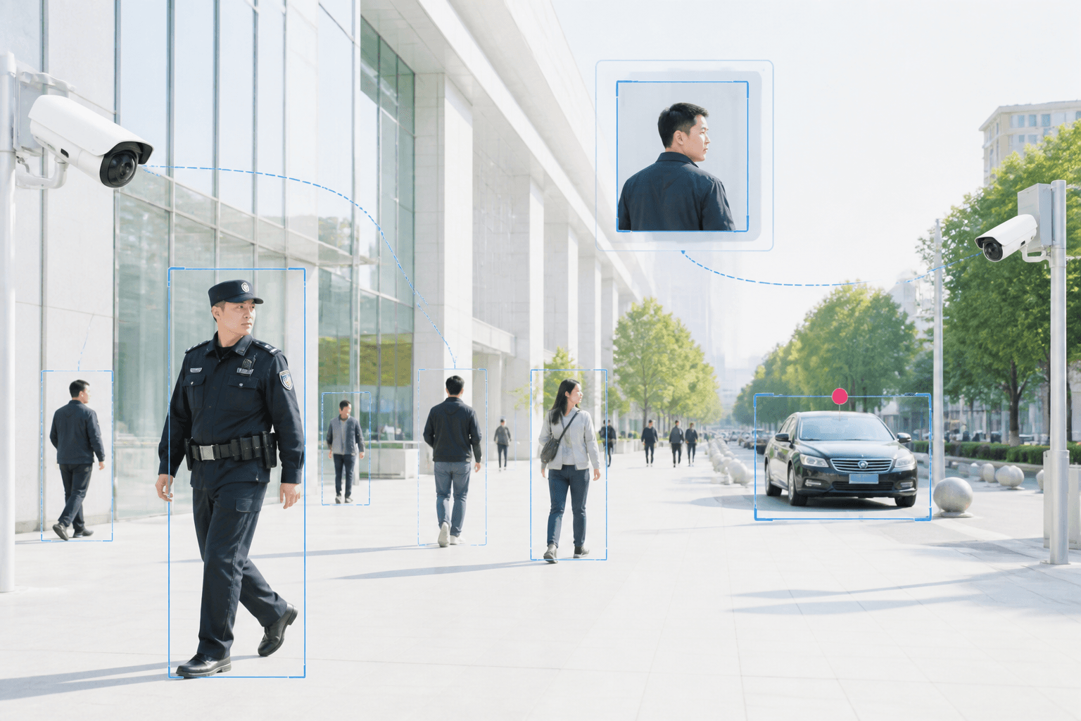
Criminal investigation and public security prevention
Search people and vehicles by image, reconstruct trajectories, and mine companions and relationships to support criminal investigation. Key person and vehicle watchlists, real-time alerts, and major-event security rely on layered prevention, image-text watchlists, the unified map, and alert delivery to discover issues proactively and respond quickly.
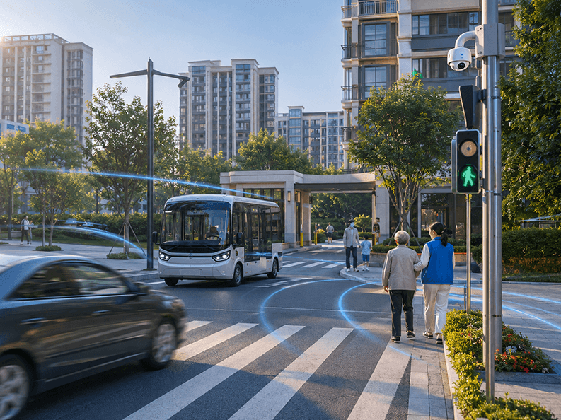
Road safety and smart communities
Unlicensed vehicles, driving violations, unmanned passenger seats on hazardous-chemical vehicles, and other road-safety risks are covered by topic alerts and engine-based illegal driving and non-motor-vehicle passenger analysis. People and vehicle access, resident monitoring, and elderly care are delivered through smart communities, entrance and exit configurations, and situational monitoring for grassroots governance.
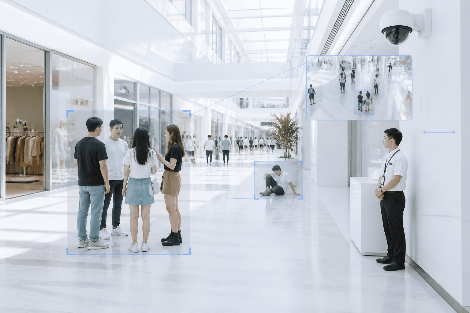
Law-enforcement compliance and entertainment-venue security
Interview accompaniment, absence from post, sleeping on duty, and other duty-performance supervision can be launched quickly with low-code tactics and behavior analysis. Fights, falls, crowding, and other serious incidents use model-based events, rule-level configuration, and police-incident bus linkage for timely alerts.

Command dispatch and mobile policing
One-map situational awareness, multi-channel video, and outcome assessment are supported by the unified map, video split-screen, large-screen visualization, and results wall. Field queries and on-site response extend to frontline officers through the mobile policing module.
Solution advantages
Combine full-target perception, spatiotemporal analysis, and proactive alerts to unlock the operational value of massive visual datasets.

Full-target video perception
Analyze live video, recorded video, and images across people, vehicles, non-motor vehicles, related events, and more, providing a unified data foundation for intelligent retrieval, analytical assessment, and event alerts.

Proactive alerts and rule orchestration
Configure object libraries, business topics, and custom event rules, and flexibly combine alert conditions for different scenarios to move operations from after-the-fact review to proactive discovery.

Multidimensional spatiotemporal analysis
Combine frequency, trajectory, regional association, and other analytical capabilities to help users progress from single-feature retrieval to comprehensive assessment of object activity patterns and incident clues.

Unified map and natural-language interaction
Present locations, video, trajectories, and event information on one unified map, with natural-language retrieval that lowers the barrier to video resource search and operational analysis.

Object profiles and cross-camera analysis
Associate, cluster, and correct distributed capture information, combining it with cross-camera tracking to improve trajectory continuity and information completeness in complex environments.

Rapid low-code adaptation
Combine a low-code event engine, AI-assisted annotation, and foundation-model event understanding so users can quickly configure rules, manage tasks, adapt to new scenarios, and shorten application rollout cycles.
Solution architecture
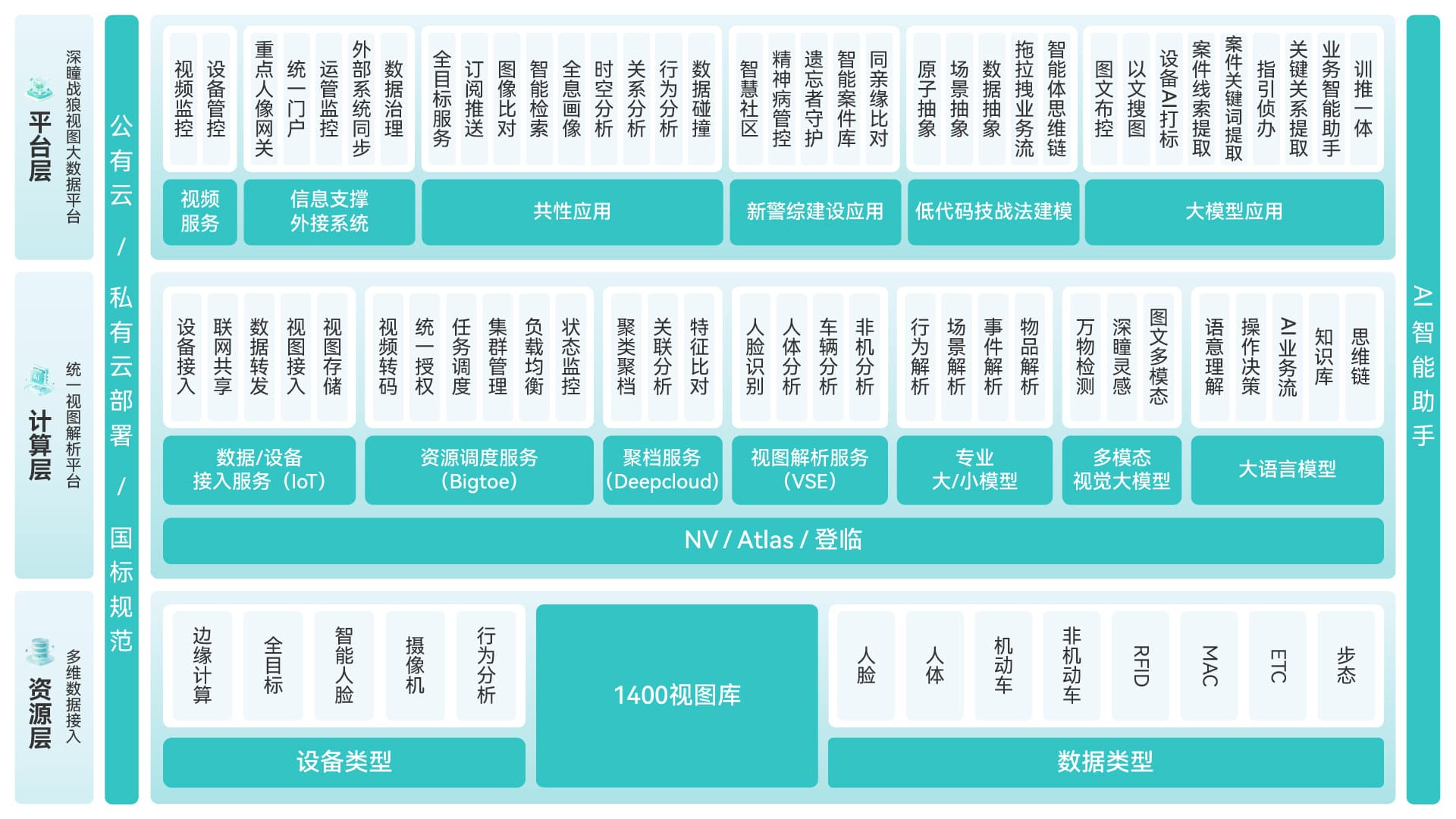
Connect video access, data governance, intelligent analysis, and business applications in one operational system.
Solution value
Turn video and image resources from passive archives into proactive discovery, rapid analysis, and efficient response.

Low-code · Shorter rollout
A low-code event engine and visual rule orchestration configure operational scenarios quickly. One project launched 10 rules in half a day, covering about 80% of common duty scenarios and cutting configuration from weeks to minutes, with efficiency up more than 90%.

Proactive alerts · Faster response
In an entertainment-venue project, 324 monitoring tasks were deployed across 54 locations. Within three months, 26 abnormal events were pushed to the response platform, shifting the command center from manual screen watching to alert-driven response, with efficiency up more than 40%.
Mass retrieval · Shorter cycles
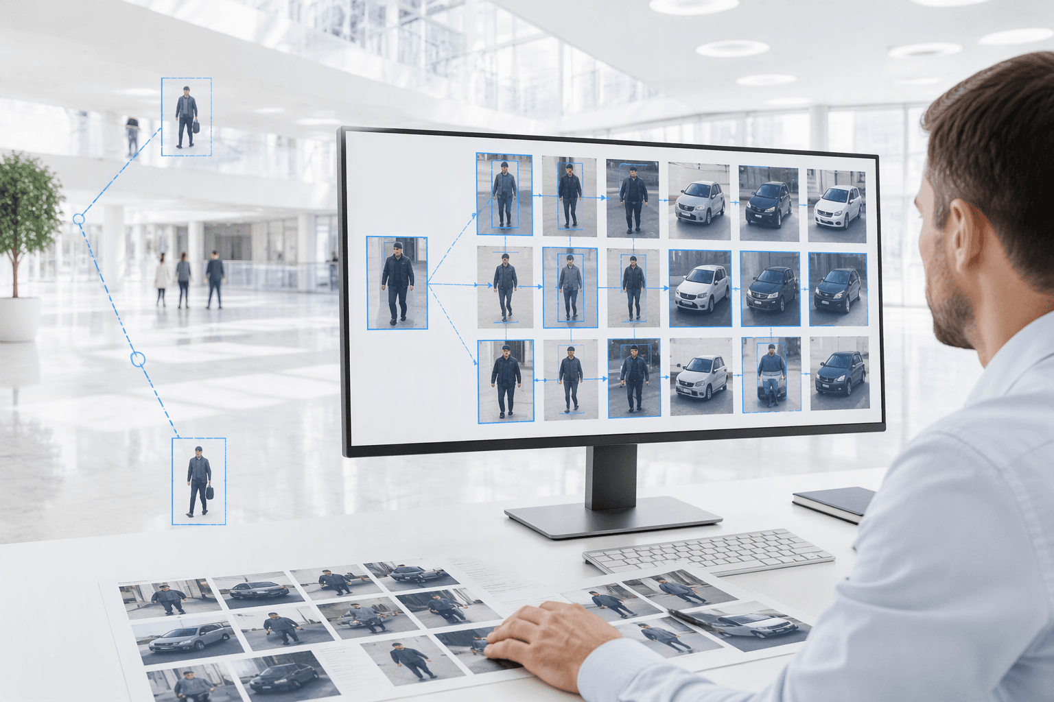
Combine text, image, and multimodal retrieval with multidimensional filtering, location aggregation, and trajectory association to help users locate clues quickly, reduce manual footage review, and shorten search and analysis cycles.
Full-target · Resource efficiency
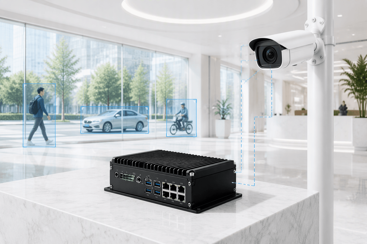
Structure people, vehicles, non-motor vehicles, and faces together, with plate recognition ≥98%, vehicle type ≥95%, and vehicle model ≥85%–90%. Task scheduling and cluster scaling balance compute use for more consolidated deployment and higher resource efficiency.